The GR-131 hiking route is a must-try for hikers, as it crosses the entire island and offers breathtaking views of the volcanic landscape.
According to the Ministerio de Agricultura, the GR-131 trail runs through the center of the island, from the far north to the south, and is charged with a cultural and religious symbolism like few other trails of Canarias. The trail is generally considered a challenging route, taking an average of 2-3 days to hike.
Also according to local websites, El Hierro has more kilometers of trails than roads, with trails that invite hikers to walk through unique scenery, which changes radically the further you go with lots of changes in altitude.
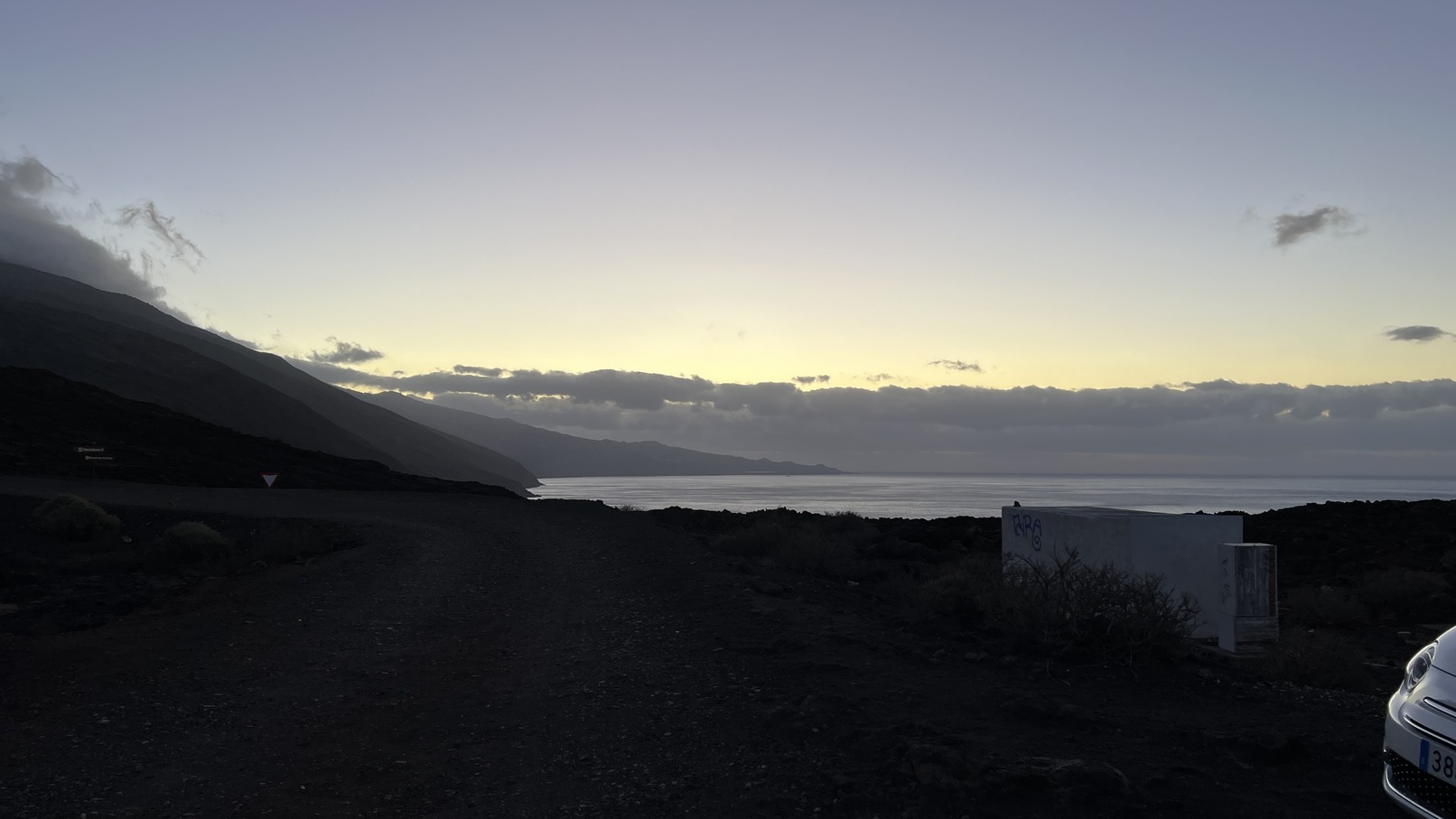
It’s also worth noting that the island is known for its volcanic and sharply mountainous terrain, so you can see volcanic rocks everywhere you go, and I mean it.
Also, according to Wikipedia, the line of longitude running through El Hierro, the westernmost of the Canary Islands, was known in European history as the prime meridian in common use outside of the future British Empire. In fact, it was used as the prime meridian for more than 500 years in various parts of Europe, especially outside of the future British Empire.
- Distance: 41.19 km.
- Moving time: 6:06
- Elapsed time: 6:58
- Avg moving pace: 8:54 /km
- Total ascent: 2040 m
- Total descent: 1940 m
- Min elevation: 16 m
- Max elevation: 1500 m
- With: Alone. Some 10 km before the peak with a nice stranger. We ran together until the peak, where he turned around. Nice guy, too bad we did not exchange contact details. Proof that trail language can be used everywhere.
- Track: https://connect.garmin.com/modern/activity/12650072929
Faro de Orchilla